Archaeology Coleshill Site October 2018
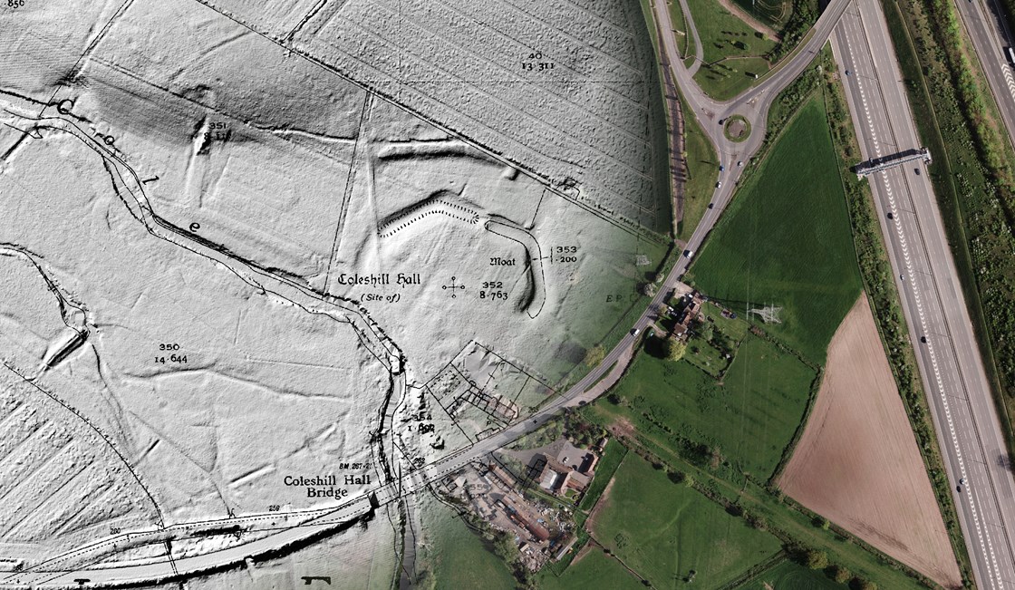
Three maps combined showing a historical map over a satellite and LiDAR image.
(Archaeology, launch)
Internal Asset No. 167
Download - Archaeology Coleshill site with three maps combined showing a historical map over a satellite and LiDAR image .jpg